Turn static PDFs into interactive experiences that speak for themselves
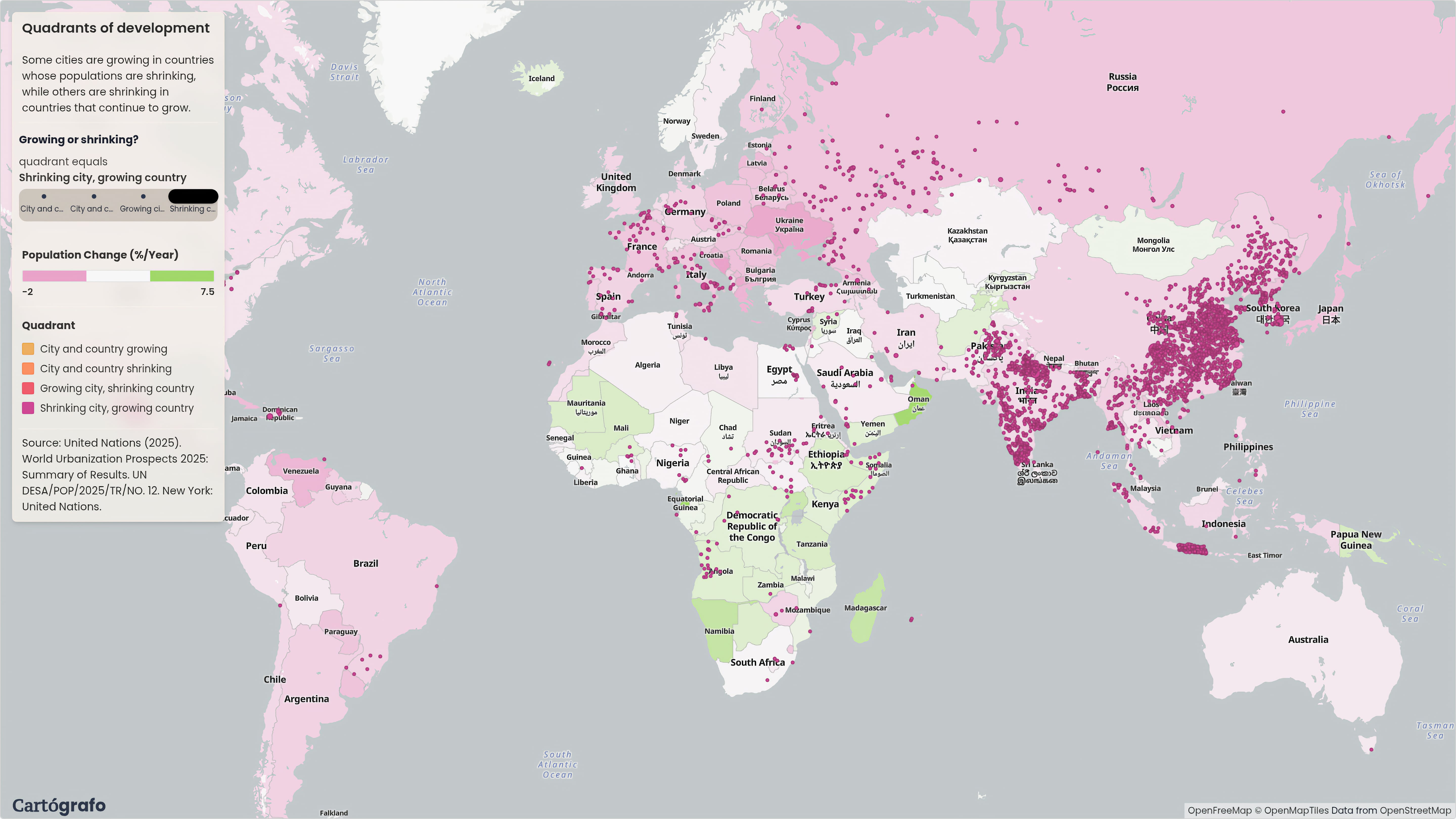
Convert complex results into explorable maps so every stakeholder can understand the work and decide faster.
Build geospatial applications without writing code
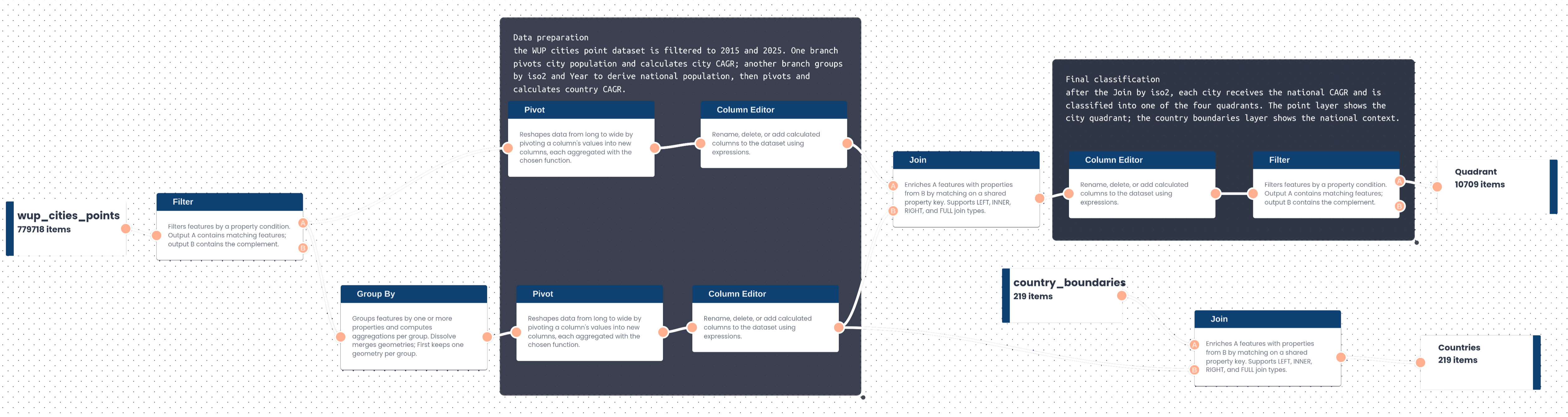
Drag and connect visual nodes to turn spatial data into interactive apps in minutes.
Start using operational data today
Create an accountDesign the exact map your audience needs
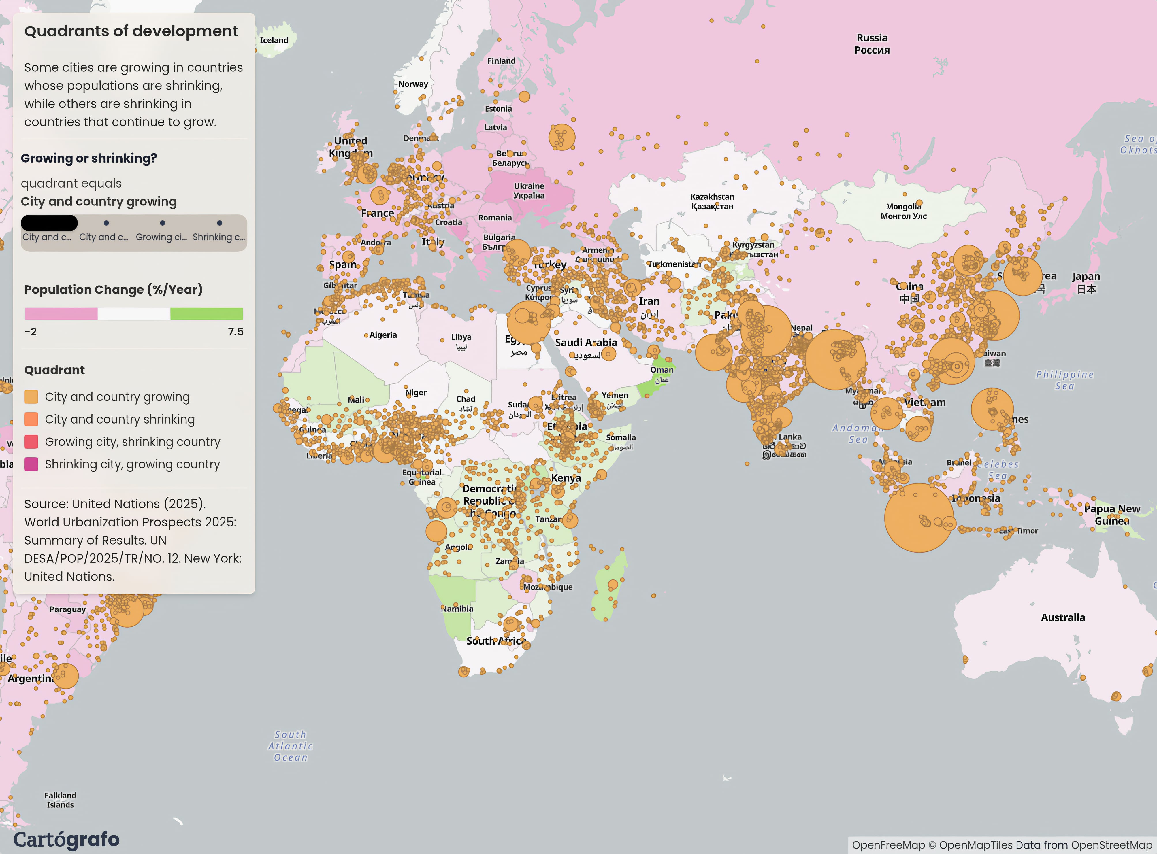
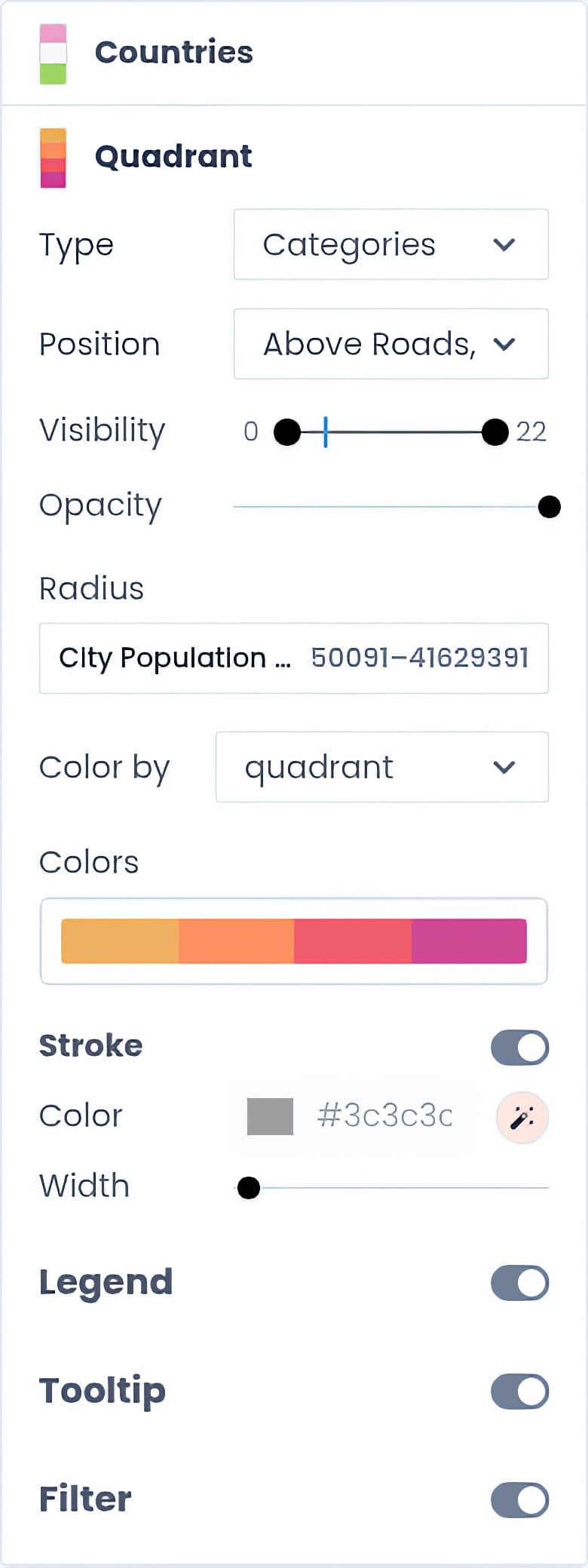
Edit layers, styles, and interactions visually to transform complex data into a clear, custom web map.
Publish interactive web maps
Create an accountTurn your audience into data explorers
Share one link so anyone can explore the same map, data, and parameters without GIS setup.
Simple and transparent pricing
Choose the plan that matches how your team publishes and operates spatial data.
Pro
For teams publishing interactive maps and operating data in our managed cloud.
Unlimited interactive map publishing
Host up to 50 GB of data
Managed on our cloud
Connect external datasets
Business-day support
Unlimited data hosting
Operate in your own cloud
Enterprise
For organizations that need unlimited scale and deployment inside their own cloud.
Everything in Pro
Unlimited data hosting
Connect external datasets
Operate in your own cloud
Custom onboarding and support